Dead Horse Well
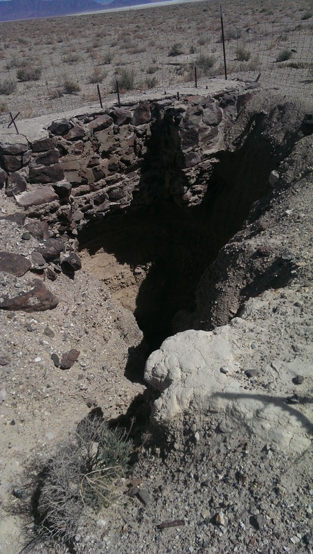
This is off the main road but only a few miles from a paved road. From Highway 40 (The Loneliest road in America) take the turn south on the road to Rawhide (Ryan Canyon Road or state route 31) going past the B-17 bombing range. Once the pavement ends continue on the dirt road for another 8.5 miles. (Do not make the right hand turn to Rawhide and the large open pit mine.) Although mostly known as the first location for water for the boom town of Rawhide, this location is the earliest in this area going back to the 1880's. You will find mine ruins, the well, and the remains of a stone building. This can be easily reached by any vehicle with a very short walk from the well maintained dirt road.
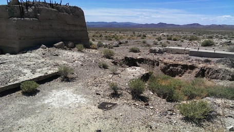
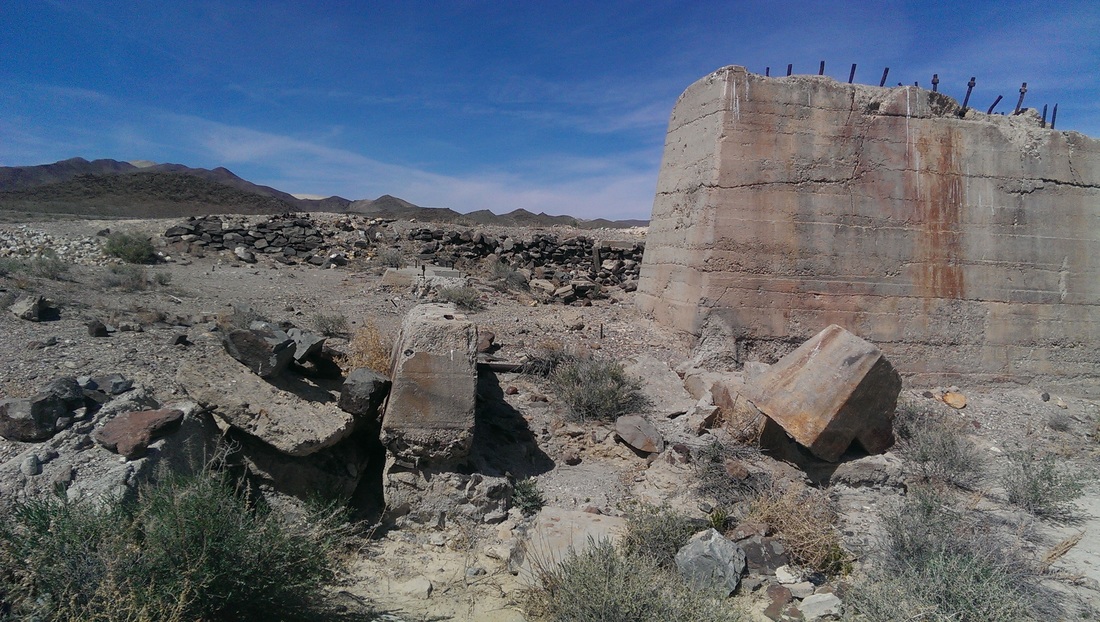
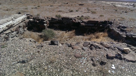
Was this a storage area to keep things cool or an assay office. The broken crucibles inside the structure and near-bye and the area that look like it may have been for a fire makes one think assay!
|
|
