Murphy's Well
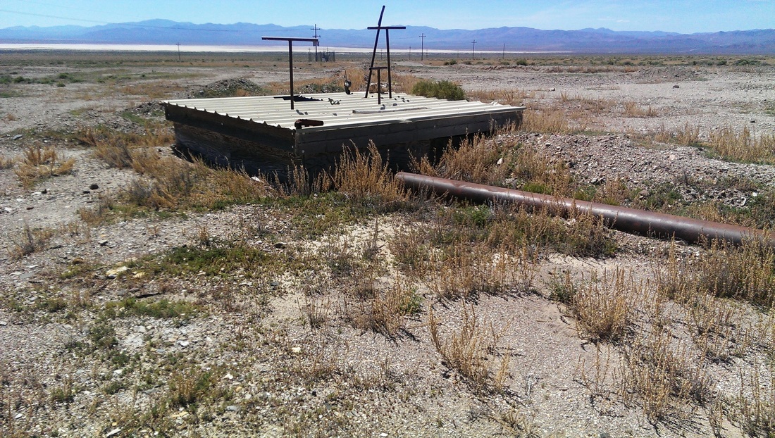
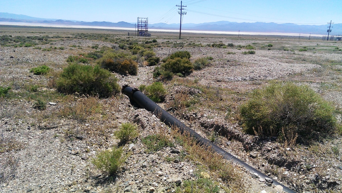
This is off the main road but only a few miles from a paved road. From Highway 40 (The Loneliest road in America) take the turn south on the road to Rawhide (Ryan Canyon Road or state route 31) going past the B-17 bombing range. Once the pavement ends continue on the dirt road for another 5 miles. (Do not make the right hand turn to Rawhide and the large open pit mine.) This was the main water source for Rawhide. Before a pipe was run from Murphy's Well to Rawhide, all water had to be delivered by wagon from Dead Horse Well. . You will know you are in the area when you find the large pipe that runs from the road up to Rawhide. I need to explore this area more as I found nothing of interest hereo n my first visit except for the pipe. . This can be easily reached by any vehicle with a very short walk from the well maintained dirt road.
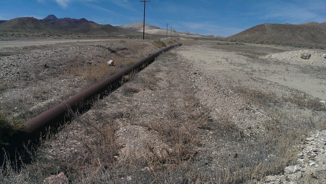
Notice the white tailings that indicate where Rawhide is.
|
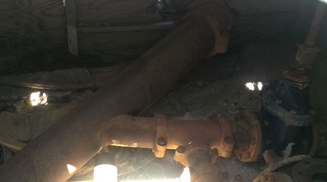
Inside the Well!
|
